Services

Hydrologic and Hydraulic Modeling and GIS
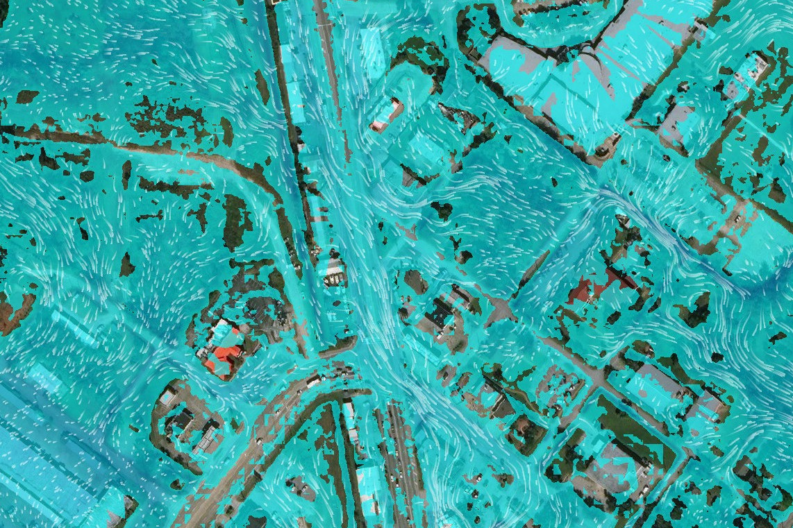
Our Hydrologic and Hydraulic (H&H) analysis, design, and modeling capabilities provide the solutions that are needed for your project. Be it a drainage deisgn for a residential or commercial development; regional watershed study to identify improvements to mitigate and reduce flooding; or complex 2D hydraulic analysis of urban, overland, or river system, we have the expertise to solve the most complex problems. Coupled with our capabilities in GIS, our H&H services can help you meet your project goals.
Example of some of the modeling and support services we offer include:
- Hydrologic and hydraulic 1D steady state modeling to support general river analyses and studies.
- Dynamic 1D/2D hydraulic modeling of urban, overland, coastal, and complex river systems.
- Flood mitigation and watershed studies to identify watershed improvements, flood mitigation measures, or to analyze the effectiveness of existing infrastructure.
- Historical and past event flood modeling and analysis to estimate impacts and to support litigations.
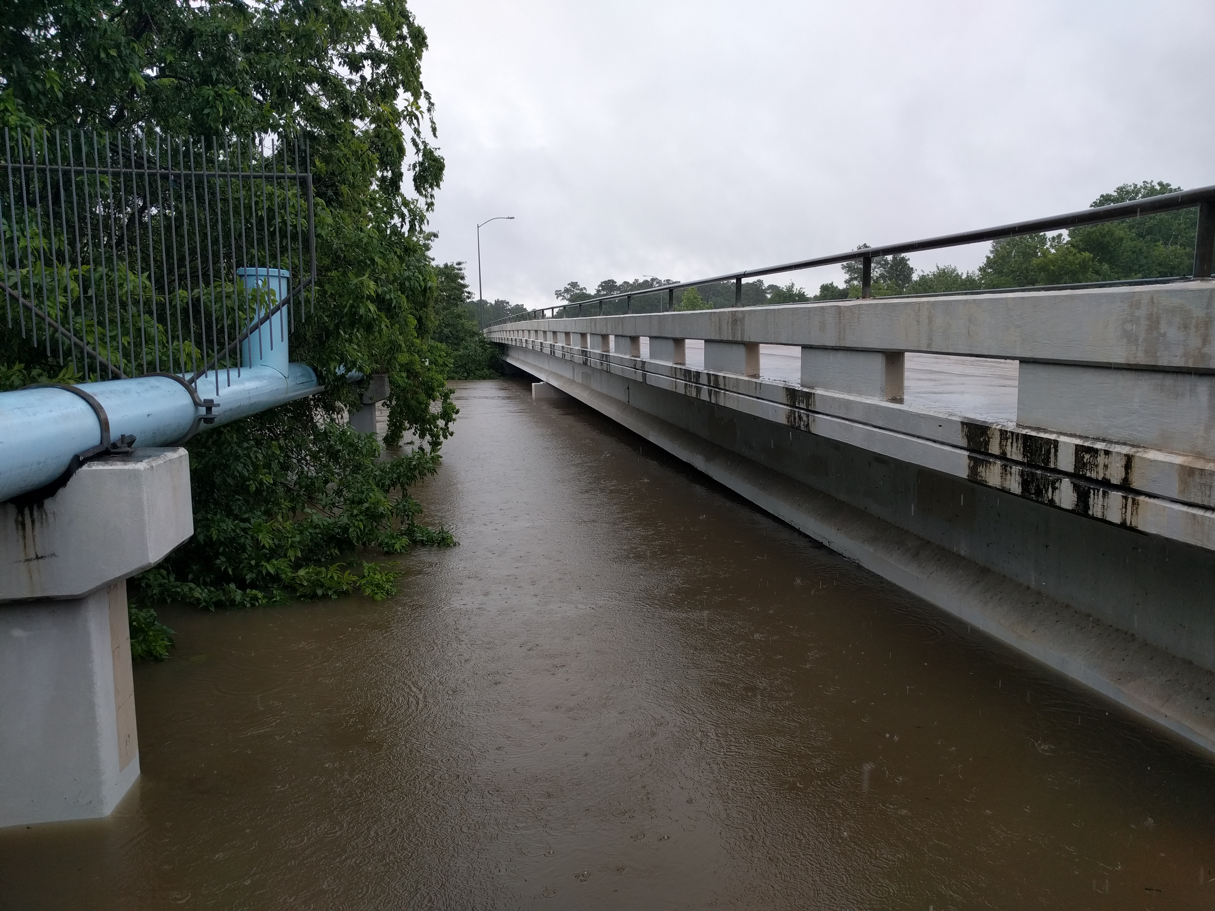
- Hydraulic bridge and scour analysis to support the design of new or existing roadway infrastructure.
- Impact studies and analyses associated with existing or proposed development in or around the floodplain.
- Project feasibility and planning studies at the local, regional, or watershed scale.
- Flood inundation mapping and map libraries for planning, emergency management, and reporting.

Hydrologic and Meteorological Data
We provide historical, real-time, forecast hydrologic and meteorological data for studies involving modeling, event analysis and reporting, and real-time modeling applications. Our team performs the complicated and specialized task of collecting, processing, correcting, and transforming data into a customized format that fits your project requirements. Whether you work for an engineering firm, municipality, or are in emergency management, we can help you with the data you need.
Example of some of the data processing and support services we offer include:
- Data collection, assimilation, processing, and transformation of raw datasets to output formats in Excel, CSV, text, DSS, grib, and more.
- Timeseries interval resampling, interpolation, and conversion of timeseries data from one timestep to another (e.g., hourly to 10-minute).
- Spatial interpolation, extrapolation, and gap filling for point and gridded datasets (e.g., point rainfall (gauge) to gridded or catchment timeseries).
- Historical, real-time, and forecast processing hydrologic (flow, stage/water levels, and velocity) and meteorological (precipitation, temperature, wind speed, etc.) datasets
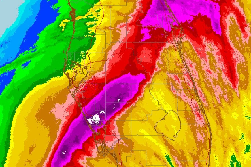
- Gauge adjusted radar rainfall (GARR) derived from radar and gauge (point) rainfall for improved spatial representation of standard point, radar, and gridded rainfall products.

Flood Forecast Systems
We have the expertise to develop and calibrate models for flood forecasting applications. Leveraging a modern approach with cloud computing, custom processes and software developed in-house, and first-hand experience with flood forecasting, we simplify the process of developing, implementing, and maintaining flood forecast systems. Whether it is a custom-built flood forecasting system using our optimized process, or a system built in forecast applications like HEC-RTS, we can ensure that critical flood information is available when you need it.
Example of some of the flood forecasting and support services we offer include:
- Evaluations of existing forecast systems to identify gaps and areas for improvements.
- Feasibility and pilot studies for new flood forecast systems; identify and planning new flood forecast systems, stream/rainfall gauge network needs, and phased development.
- Model development, calibration, suitability assessment of new and existing models for flood forecasting.
- Flood forecast system design, customization, and implementation for on-premises or cloud deployments, system operation, and model/system maintenance.
- Real-time and forecast data processing and input feeds to support flood forecasting operations.
- Operational interfaces and visualization of flood forecast data with static reports, summary tables, and graphs, and interactive dashboards.
- Program management for existing or new flood forecast systems, operational documentation development and support, and technical and on-call system support.
